

By:Betty Luke
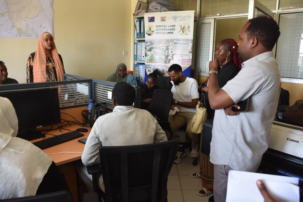
A section of GIS technical officers from various Isiolo county departments during a training. PHOTO/ICG
The County Government of Isiolo has intensified efforts to modernize land administration through a three-day Geographic Information Systems (GIS) Champions Training conducted in partnership with the Food and Agriculture Organization of the United Nations (FAO) under the Digital Land Governance Programme (DLGP).
The training has brought together GIS technical officers from various county departments with the aim of strengthening digital land governance, spatial planning and evidence-based decision-making.
County officials say the initiative will improve the collection, management and sharing of spatial data to support planning, infrastructure development, agriculture, environmental conservation, monitoring and evaluation, and more efficient public service delivery.
The programme comes at a critical time for Isiolo, a county that has for decades grappled with historical land injustices dating back to the post-independence period. Residents have repeatedly raised concerns over double allocation of land, illegal land grabbing, boundary disputes and encroachment by military installations, issues that have fueled conflicts and complicated land ownership.
Land governance has become even more urgent as Isiolo positions itself as a regional economic hub through several multi-billion-shilling projects, including the LAPSSET Corridor Programme, the Horn of Africa Gateway Development Project and the Isiolo Export Abattoir.
The projects have increased demand for land, making accurate land records and transparent planning essential to prevent disputes and safeguard investments.
Speaking during the official opening of the training, County Executive Committee Member (CECM) for Lands and Physical Planning Hussein Jirmo said GIS technology would transform how the county plans and delivers services.
“GIS is a critical tool for improving decision-making through spatial analysis, data modelling, visualization, integration and management. It enables governments to make informed, timely and evidence-based decisions that enhance service delivery and sustainable development,” said Jirmo.
He said the county government was committed to embracing digital technologies that would strengthen coordination between county governments, the Council of Governors and the National Government by ensuring spatial information is harmonized and easily accessible.
“This programme will go a long way in ensuring that data generated by the Council of Governors, county governments and the National Government is harmonized, decentralized and effectively utilized. A robust Geographic Information System will enable smart governance through accurate and accessible spatial information,” he added.
The Digital Land Governance Programme is a joint initiative of the Council of Governors, FAO and the European Union. It seeks to equip county technical officers with practical GIS skills while modernizing land administration systems across Kenya.
A major component of the programme is the establishment of a centralized GIS platform that will eliminate departmental data silos, strengthen county geo-databases, reduce duplication and support integration with the Council of Governors’ GIS-based Open Data Portal.
Jirmo challenged participants to become champions of digital transformation within their departments, particularly in monitoring and evaluating county development projects.
“I urge all participants to be at the forefront of applying the knowledge gained during this training, especially in monitoring and evaluating county projects. Accurate spatial data is essential for quality work, accountability and effective utilization of public resources,” he said.
